
Description
02
Intro
Simple hike from the Galtür village square to the 'Zeinisjoch'
Description
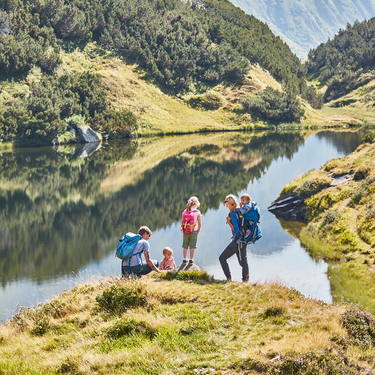
Starting from the village square in Galtür either follow the river bank trail along Vermuntbach or hike on the valley hiking trail to Wirl. From there follow the old Zeinisjochstraße, past Haus Klein Zeinis, until you get to Zeinisjoch mountain pass. This is not just the border limit area of Tyrol - Vorarlberg, but also the Rhine - Donau watershed area. The final section takes you along a mountain lake to the Alpengasthof Zeinisjoch. At this stop-off station you are offered a wonderful view to Kopsstausee which has a dam wall and also an impressive panoramic alpine view with Montafon‘s local mountain, the Valülla (2.813m).
Return section: same route back.
Arrival
The autoroute (A12 (westbound) or A14 (eastbound)) leads you to the Arlbergschnellstraße (S 16). At the exit for Pians, turn onto the Paznauntalstraße (B 188) and follow its course into the Paznaun.
Parking
At the Arzthaus Galtür or at the Sports and culture centre Galtür
Public transport
With the railway station in Landeck, the Paznaun is optimally connected to the Austrian train network. From Landeck-Zams station, only a short bus ride separates you from the Paznaun. Every half hour, line bus 260 runs from there through the valley. Bus stop: Galtür Dorfplatz
Tour type


