
Description
02
Intro
Ischgl Talstation Silvrettabahn - Rauher Kopf
Description
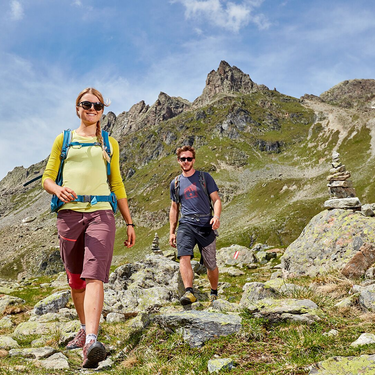
Rauher Kopf is Ischgl‘s local mountain and is about 3 hours from the village. The route proceeds from the Silvretta cable car to the church and then to the intermediate station. The strenuous ascent proceeds through the forest to the Tschamatschkopf, from where there is still some 300 metres of climbing to tackle. Return section: from the summit, the route proceeds down to „Äußeres Bergli“, from where you head down to Mathon again through the forest. From there, take the bus back to Ischgl.
Arrival
Parking
Public transport
With the railway station in Landeck, the Paznaun is optimally connected to the Austrian train network. From Landeck-Zams station, only a short bus ride separates you from the Paznaun. Every half hour, line bus 260 runs from there through the valley.
Bus stop: Ischgl Silvrettabahn
Buses in the Paznaun valley | Region Paznaun – Ischgl


