
Description
02
Intro
See Talstation Medrigjochbahn - Alpengasthof Zeinisjoch, 300.00 km, 993 m, 8.00 h
Description
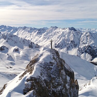
From See to Zeinisjoch - a very special hiking path! You can walk across the entire Paznaun region along the valley path, from See to the border with Vorarlberg. The route could not be more varied, flitting from gravel forest parts to asphalt side roads and sections of fine forest terrain. Sometimes the path runs directly along the valley bottom by the Trisanna river and sometimes along the sunny valley slopes with beautiful views. The valley path links the individual towns and can also be completed as separate tour in itslef. The route covers 32 km and close to 1.000 hm of altitude in total.
Difficulty: Easy Length: 300.00 km Duration: 8.00 h Ascent: 993 m Descent: 389 m Highest Point: 1822 m Lowest Point: 1037 m Surface: Waldweg, Schotter, Asphalt Start: See Talstation Medrigjochbahn End: Alpengasthof Zeinisjoch Height valley: 1037 Height mountain: 1822


